

- cross-posted to:
- technology@beehaw.org
- cross-posted to:
- technology@beehaw.org
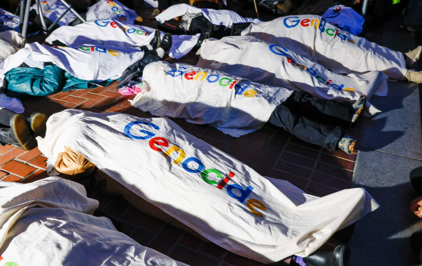
For the first time, I feel driven to speak publicly, because our company is now powering state violence across the globe.
For the first time, I feel driven to speak publicly, because our company is now powering state violence across the globe.
Is that what is happening here?
What’s the source of this photo? I saw a different comment mention bodies and a satellite photo, is this what they were referring to?
It’s a Google satellite. That’s what you see on theirs. If you use Apple Maps satellite view, it looks so clean.
For anyone who actually cares enough to look this up for themselves,
13°32’1" N 88°48’18" W
Or,
13.53361°N 88.80500° W
Maps is clean but Google Earth has a historical view. The OTHERWISE UNATTRIBUTED PICTURE (therefore invalid as a source) is from March 2024.
Fuck you guys, learn to read and research, fuck!
It’s America’s concentration camp for undesirables.
Literally on Google Maps right now. It’s called Centro de Confinamiento del Terrorismo.
Gods below